Our Team
OUR TEAM
Buck Forestry Services technical forestry and photomap divisions are supported by a highly skilled team. We currently have a staff of approximately 30 people, all of whom play a vital role in the services we provide.
KEY MANAGEMENT STAFF AT BFS

KEVAN BUCK
BUCK FORESTRY SERVICES - GENERAL MANAGER
Kevan is responsible for the overall management of the company. He has over 40 years’ experience in the New Zealand forest industry having joined the New Zealand Forest Service as a Woodsman. Prior to establishing BFS in 1997 he was employed as a forester with Carter Holt Harvey Forests.
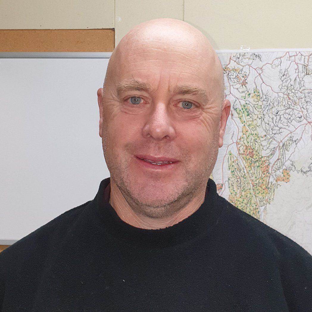
PAUL THOMPSON
TECHNICAL FORESTRY SERVICES - TECHNICAL OPERATIONS MANAGER
Paul is responsible for management of technical forestry operations. He started his forestry career as a forester with the New Zealand Forest Service in 1985 before joining Tasman Forestry in Nelson. Paul has a long association with forestry in the Nelson region and is widely respected for his technical knowledge and practical, hands on approach.

PETE DAWSON
TECHNICAL FORESTRY SERVICES - NELSON OPERATIONS FORESTER
Pete is responsible for assisting with day-to-day operations planning and scheduling. He also plays a leading role in data inventory management and log scaling operations. Prior to joining BFS he worked in the forest nursery industry for a number of years.
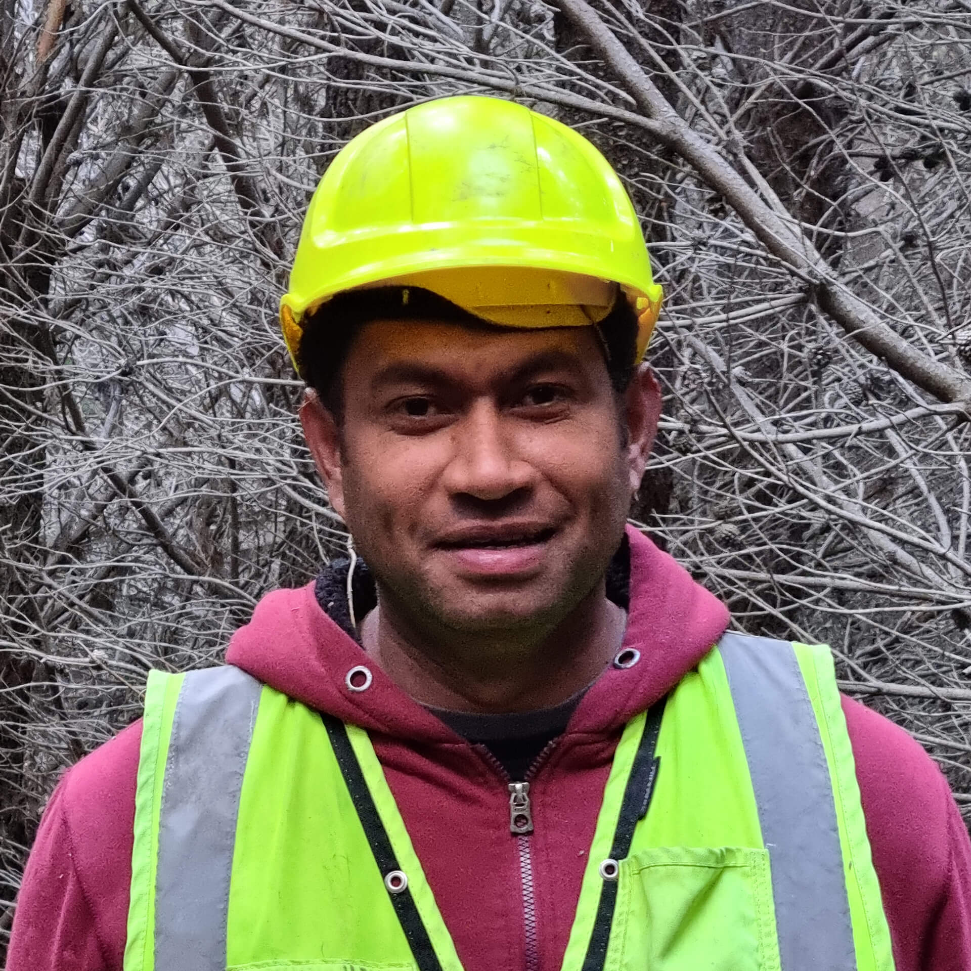
ILI NAITINI
TECHNICAL FORESTRY SERVICES – CANTERBURY OPERATIONS FORESTER
Ili is responsible for assisting with day-to-day operations planning and scheduling. He is also responsible for internal company auditing and assists with staff training. Ili holds a Diploma in Forestry from Waiariki Polytechnic and has extensive field experience in mensuration.

SAM BUTLER-HOGG
PHOTOMAP - MANAGER
Sam is responsible for managing the Photomap division of BFS. Sam started with BFS in 2017 and specialises in the collection of aerial imagery from both UAV and fixed wing aircraft. From this imagery Photomap produces high quality maps and other GIS information for a variety of uses. Sam is an accredited UAV pilot with experience flying both fixed wing and rotary UAV’s. He also spends time capturing large area aerial photography. He has extensive experience with ESRI products, as well as Agisoft Metashape.
DEBRA O'KEEFFE
BUCK FORESTRY SERVICES - ADMINISTRATION MANAGER
Debra is responsible for planning and the coordination of administrative procedures and systems within the company.